
Welcome New Members! We want to hear from you. Register, stop lurking and start posting!
Return of heat followed by possible rain and storms: January 20-30
-
hillybilly

- Site Admin/Moderator
- Reactions:
- Posts: 4980
- Joined: Thu Nov 26, 2009 7:26 am
- Location: Howden Tasmania, 25m above sea level
- Contact:
Return of heat followed by possible rain and storms: January 20-30
Long lived and fairly slow moving system with heat building the next few days ahead of a scorching Sunday. The new week then brings increasing tropical moisture with the potential for showers and storms to be widespread and heavy. Lots of uncertainty on the details, though heat looks to be locked in. We could well see 45C approached in the northwest Mallee and around 40C in the Melbourne metro.
Re: Return of heat followed by possible rain and storms: January 20-30
Interesting period. Half a chance for a sneaky storm on the ranges probably a tad more likely eastward on Thursday pm?
- StratoBendigo
- Supercell
- Reactions:
- Posts: 2809
- Joined: Fri Jan 02, 2015 2:18 pm
- Location: Kangaroo Flat
Re: Return of heat followed by possible rain and storms: January 20-30
Hmmm, fire danger is going to be a concern here. We had a big grassfire not far from here today at Graytown. Took out a hay and machinery shed. A couple of houses were saved fortunately.
It's out the other side that's got me interested. Hints of a big tropical system or two at the end of the month.
It's out the other side that's got me interested. Hints of a big tropical system or two at the end of the month.
-
hillybilly
- Site Admin/Moderator
- Reactions:
- Posts: 4980
- Joined: Thu Nov 26, 2009 7:26 am
- Location: Howden Tasmania, 25m above sea level
- Contact:
Re: Return of heat followed by possible rain and storms: January 20-30
Big event creeping into the progs, with them all showing locally 50-100mm next week. Surprising consistency, though that might change.
Weekend doesn’t look too windy which is good with the heat.
Weekend doesn’t look too windy which is good with the heat.
-
chasersaddict76

- Cumulus
- Reactions:
- Posts: 83
- Joined: Wed Jul 10, 2019 8:36 pm
- Location: Bendigo
Re: Return of heat followed by possible rain and storms: January 20-30
I think 5 days Heatwave is long enough before big switch dry to late La Niña wet.
For Bendigo
THURS - 34c
FRI - 35c
SAT 36c
SUN 42c
MON 43c
For Bendigo
THURS - 34c
FRI - 35c
SAT 36c
SUN 42c
MON 43c
-
hillybilly
- Site Admin/Moderator
- Reactions:
- Posts: 4980
- Joined: Thu Nov 26, 2009 7:26 am
- Location: Howden Tasmania, 25m above sea level
- Contact:
Re: Return of heat followed by possible rain and storms: January 20-30
Progs wiggling, but still lots of potential. Before that two HOT days on Sunday and Monday. Sunday more in the west, and Monday for areas a bit further east. Starting to look like we could well see low 40s in the western burbs of Melbourne 
Quite gusty winds ahead of the front, though humidity stays moderate and a bit of cloud so will take a bit off the edge. Still, not a good fire day for those areas which are dry.
Rainband following on Tuesday, with a bit of moisture being captured, then TC Lucas moisture spreads across us later in the week.
-
hillybilly
- Site Admin/Moderator
- Reactions:
- Posts: 4980
- Joined: Thu Nov 26, 2009 7:26 am
- Location: Howden Tasmania, 25m above sea level
- Contact:
Re: Return of heat followed by possible rain and storms: January 20-30
First hot one in the Nongs with 28C on Thursday. Friday and Saturday look similar. Stinkers Sunday and Monday. Rainfall still looks promising. Prefrontal on Monday looks unpleasant, with high 30s to low 40s and gusty winds 
- Tassiedave
- Supercell
- Reactions:
- Posts: 1098
- Joined: Thu Nov 11, 2010 11:09 am
- Location: Grindelwald Tasmania
Re: Return of heat followed by possible rain and storms: January 20-30
Models struggling a bit with where the moisture from the NW cyclone will end up.
- Wilko
- Supercell
- Reactions:
- Posts: 1492
- Joined: Wed Aug 11, 2010 12:08 pm
- Location: Moorabbin & Highett, Vic
Re: Return of heat followed by possible rain and storms: January 20-30
AccessG has 125mm here late next week 
-
hillybilly
- Site Admin/Moderator
- Reactions:
- Posts: 4980
- Joined: Thu Nov 26, 2009 7:26 am
- Location: Howden Tasmania, 25m above sea level
- Contact:
Re: Return of heat followed by possible rain and storms: January 20-30
Nice but hazy 23C in the Nongs. Now down on the coast where it’s humid and hazy. Clouds are sat low on Wilson Prom, and almost looks like drizzle down there. Nice day tomorrow ahead of the first burst of summer for a while. Sunday’s looking a bit hotter, Monday perhaps a bit cooler. Monday looks quite ugly, though recent rainfall has been good for most areas and it will be a fairly moist airmass despite the heat with precip water values of 25mm or so,
Rainy Tuesday. Could be quite a decent fall, though Progs not really sure where the peak totals will fall. It’s comes in from the northwest and tends to train so where it peaks will determine whether you get 5 or 25mm. Thinking perhaps 20mm in the Nongs.
Big event for later in the week
Rainy Tuesday. Could be quite a decent fall, though Progs not really sure where the peak totals will fall. It’s comes in from the northwest and tends to train so where it peaks will determine whether you get 5 or 25mm. Thinking perhaps 20mm in the Nongs.
Big event for later in the week
- StratoBendigo
- Supercell
- Reactions:
- Posts: 2809
- Joined: Fri Jan 02, 2015 2:18 pm
- Location: Kangaroo Flat
Re: Return of heat followed by possible rain and storms: January 20-30
Seeing everything from 15 to 70mm in the different forecast models for the next 10 days. Previous form suggests we will get less than 20mm.
If you want to see an out-of-control rainfall forecast, see 00z Access-G for the Gulf of Carpentaria... 4000mm+ anyone?
If you want to see an out-of-control rainfall forecast, see 00z Access-G for the Gulf of Carpentaria... 4000mm+ anyone?
- Tassiedave
- Supercell
- Reactions:
- Posts: 1098
- Joined: Thu Nov 11, 2010 11:09 am
- Location: Grindelwald Tasmania
Re: Return of heat followed by possible rain and storms: January 20-30
Latest GFS give some rain with the change Monday/Tuesday but now pushes a lot of the heavier stuff on Thursday/Friday off to the east.
-
hillybilly
- Site Admin/Moderator
- Reactions:
- Posts: 4980
- Joined: Thu Nov 26, 2009 7:26 am
- Location: Howden Tasmania, 25m above sea level
- Contact:
Re: Return of heat followed by possible rain and storms: January 20-30
Progs are jumpy and spraying but the big picture looks very hopeful. I tend to favour EC unless it’s an outlier (it’s the best weather model) and it’s been quite stable and tends to avoid the ridiculous falls and gradients in some of the other models. It’s tending to show 5-25mm Tuesday and 20-60mm for most around Friday. Would not be too confident on where the biggest falls will sit, but first parts tends to focus near the ranges, and the second part is quite general with the west most likely to miss out.
Hot today in the north, and warm in the south. Hot everywhere Sunday and Monday, though numbers are winding back a bit so more of a pretty typical summer heat spell.
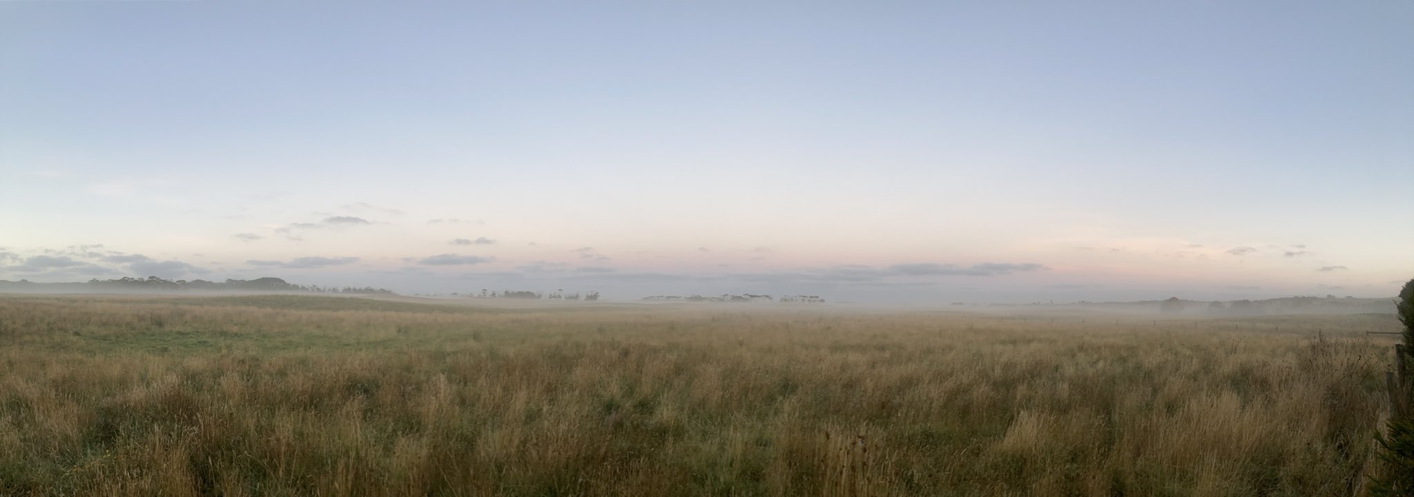
Calm and misty down here in Walkerville. Nice morning. Here’s a photo looking west towards Venus Bay from the back deck
Hot today in the north, and warm in the south. Hot everywhere Sunday and Monday, though numbers are winding back a bit so more of a pretty typical summer heat spell.
Calm and misty down here in Walkerville. Nice morning. Here’s a photo looking west towards Venus Bay from the back deck
-
chasersaddict76
- Cumulus
- Reactions:
- Posts: 83
- Joined: Wed Jul 10, 2019 8:36 pm
- Location: Bendigo
Re: Return of heat followed by possible rain and storms: January 20-30
The trough and eastlery dip is very lazy not bring enough Rain to SE Australia as the SE wind of High Pressure made it dry.
- stevco123
- Supercell
- Reactions:
- Posts: 2936
- Joined: Sat Aug 07, 2010 7:42 pm
- Location: Cranbourne 78m asl
Re: Return of heat followed by possible rain and storms: January 20-30
Seems to me 40 is now a hit and miss for Melbourne on Monday. Will definitely be an uncomfortable night tomorrow night however
https://www.weatherlink.com/bulletin/53 ... 76dd68e8bc: for current weather updated every 2 minutes
- StratoBendigo
- Supercell
- Reactions:
- Posts: 2809
- Joined: Fri Jan 02, 2015 2:18 pm
- Location: Kangaroo Flat
Re: Return of heat followed by possible rain and storms: January 20-30
Satpic looks the goods. Ex-TC over WA really is in the right spot. EC reckons 60mm over the next week. Others less optimistic.
-
hillybilly
- Site Admin/Moderator
- Reactions:
- Posts: 4980
- Joined: Thu Nov 26, 2009 7:26 am
- Location: Howden Tasmania, 25m above sea level
- Contact:
Re: Return of heat followed by possible rain and storms: January 20-30
Beaut day in the south yesterday. Spent much of it on the beach Waves were big, though, driven by the big low south of NZ atm.
Quite a few drownings in recent days across the southeast Not good. Bit hard to know how these waves compare to other events in summer, but the mix of beautiful weather with little wind and big waves is a bit unusual. I like South Gippsland because the waves tend to even out and you get very few rogue waves around Waratah Bay, Walkerville etc, but can imagine it being dangerous where you have deep water close to shore.
Hot one today. Not too bad near the coast, but a stay inside or in the pool day in the north. Looks like peaking around 43C.
Monday is looking a touch cooler. Latest EC has high 30s around Melbourne with a bit of humidity in the low levels and high cloud aloft. Hopefully take the edge of things. North central looks to be the hot spots with low 40s.
Tuesday now looking wet. Progs showing locally more than 50mm, though details are a unclear. The system develops then stalls the rain, showers and storms will run NW to SE with the system training. Hoping it’s a start of a more general wet La Niña signal for Vic.
Quite a few drownings in recent days across the southeast
Hot one today. Not too bad near the coast, but a stay inside or in the pool day in the north. Looks like peaking around 43C.
Monday is looking a touch cooler. Latest EC has high 30s around Melbourne with a bit of humidity in the low levels and high cloud aloft. Hopefully take the edge of things. North central looks to be the hot spots with low 40s.
Tuesday now looking wet. Progs showing locally more than 50mm, though details are a unclear. The system develops then stalls the rain, showers and storms will run NW to SE with the system training. Hoping it’s a start of a more general wet La Niña signal for Vic.
- StratoBendigo
- Supercell
- Reactions:
- Posts: 2809
- Joined: Fri Jan 02, 2015 2:18 pm
- Location: Kangaroo Flat
Re: Return of heat followed by possible rain and storms: January 20-30
Yep, forecast looks good for rain still. Even BOM PME is onboard.
I've been at Apollo Bay. Much cooler than inland and waves were very dumpy yesterday. Swell has come a long way away.
I've been at Apollo Bay. Much cooler than inland and waves were very dumpy yesterday. Swell has come a long way away.
- Tassiedave
- Supercell
- Reactions:
- Posts: 1098
- Joined: Thu Nov 11, 2010 11:09 am
- Location: Grindelwald Tasmania
Re: Return of heat followed by possible rain and storms: January 20-30
Don't know whether it is relevant but so far Adelaide has reached 42.7 - 41 degrees was forecast. Outlying areas like Roseworthy are 44.8
-
Didjman

- Supercell
- Reactions:
- Posts: 2099
- Joined: Fri Sep 03, 2010 2:52 pm
- Location: Wallan, Vic 328m ASL
- Contact:
Re: Return of heat followed by possible rain and storms: January 20-30
Currently 36.6 here at 328m