Ok I finally got together the pics from Feb 3rd.
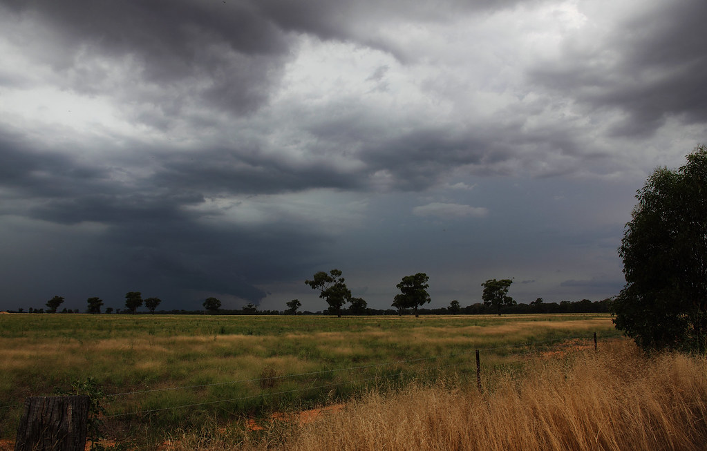
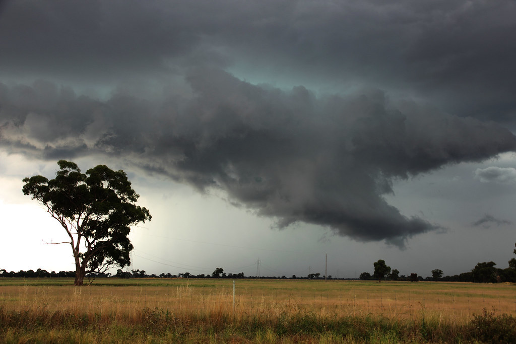
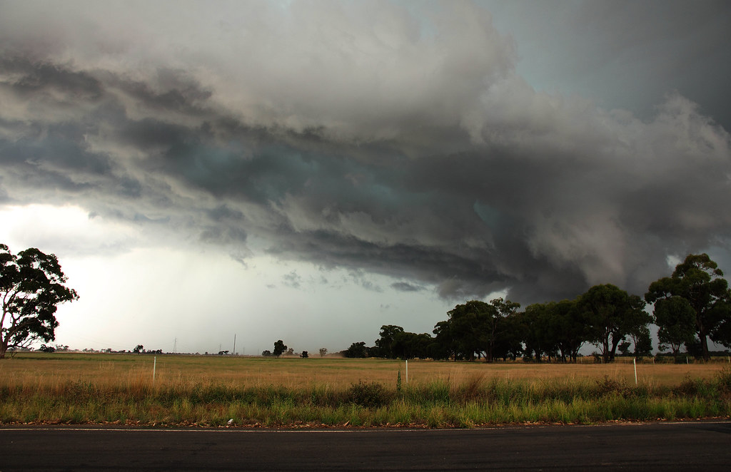
After jumping into the car after work I headed NE to Goornong where I was meeted with this. All the photo's in this were taken within 25min of each other. The rate at which these storms grew was amazing.

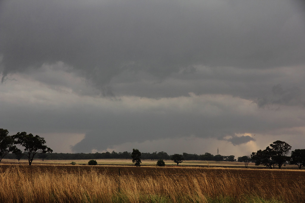
This grabbed my attention first off as it was dropping a few cg's without much precip

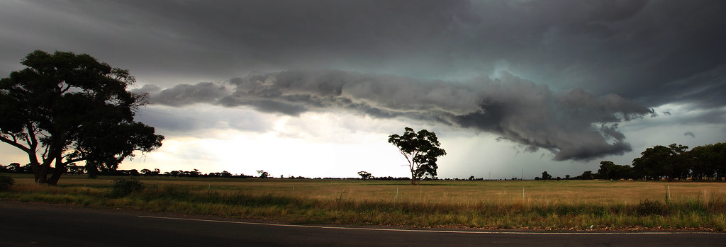
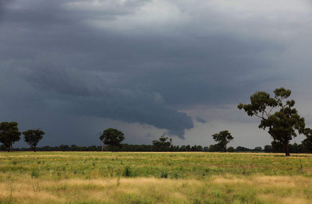
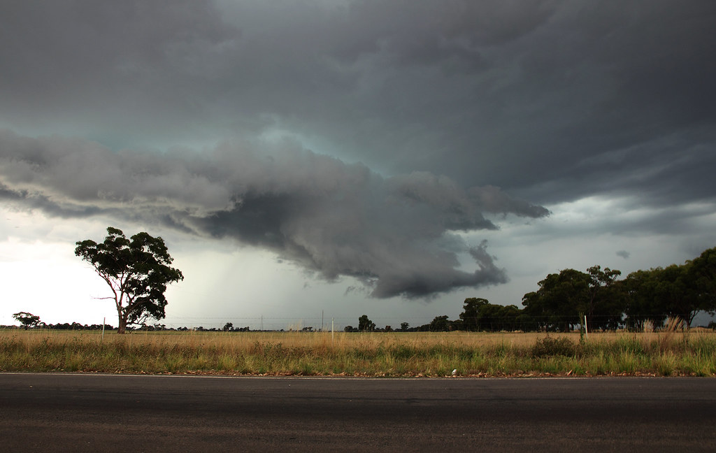
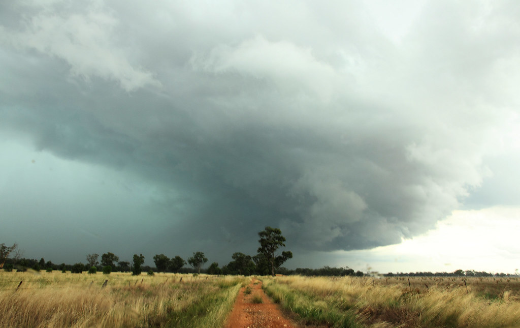
Then my eyes turned to the East where the main band was coming through. It had a small detatched guster on the face of it and looked to be strengthening to the south a little more than I thought.

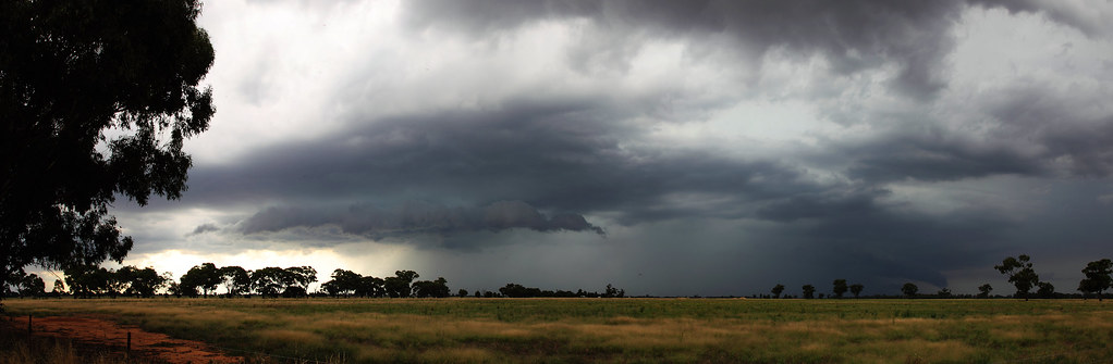
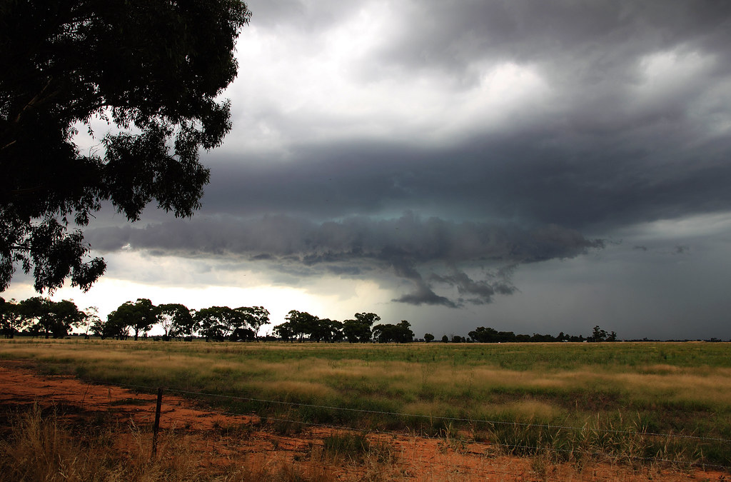
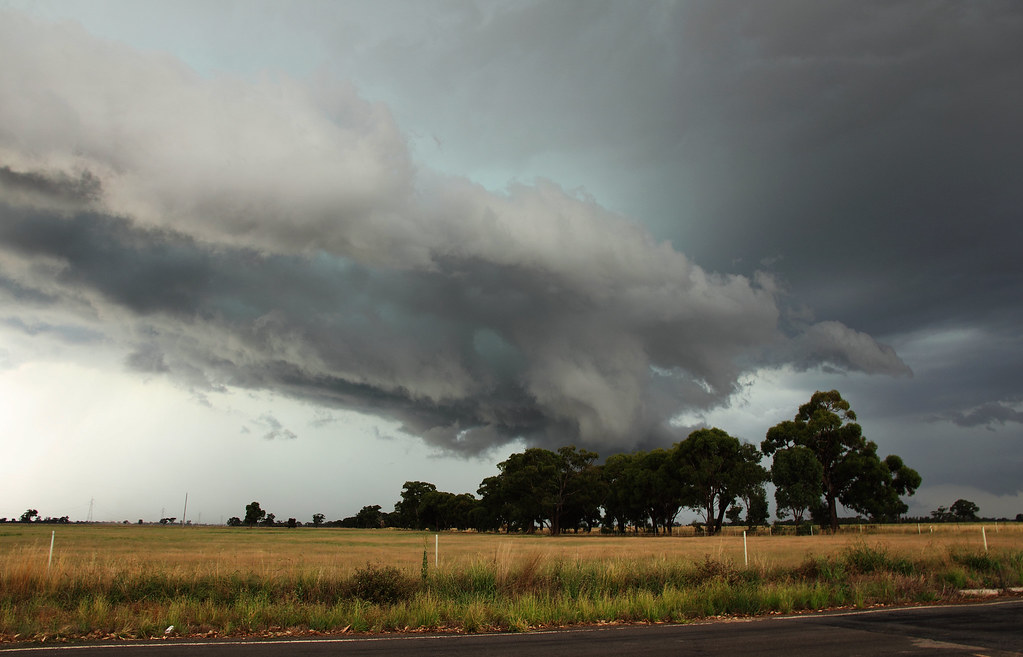
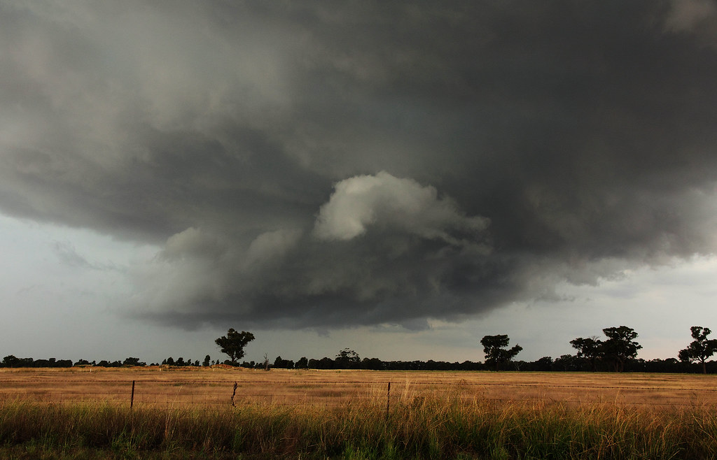
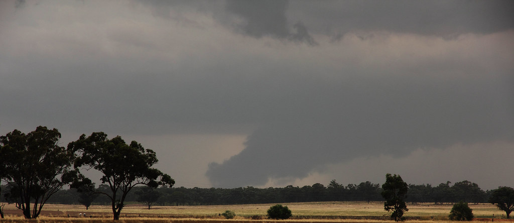
Turning around the first celol i saw (second Photo) had turned into this in a matter of minutes.

It was during the taking of this shot i Heard my Iphone get run over by an 18wheeler after my phone fell out of my pocket without me noticing.

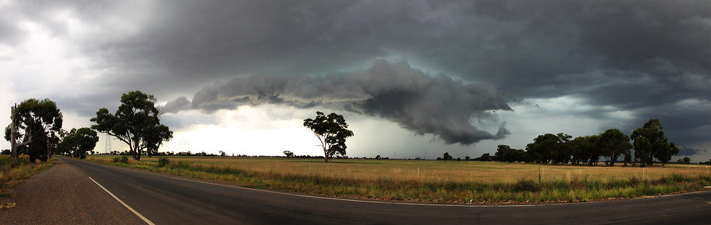
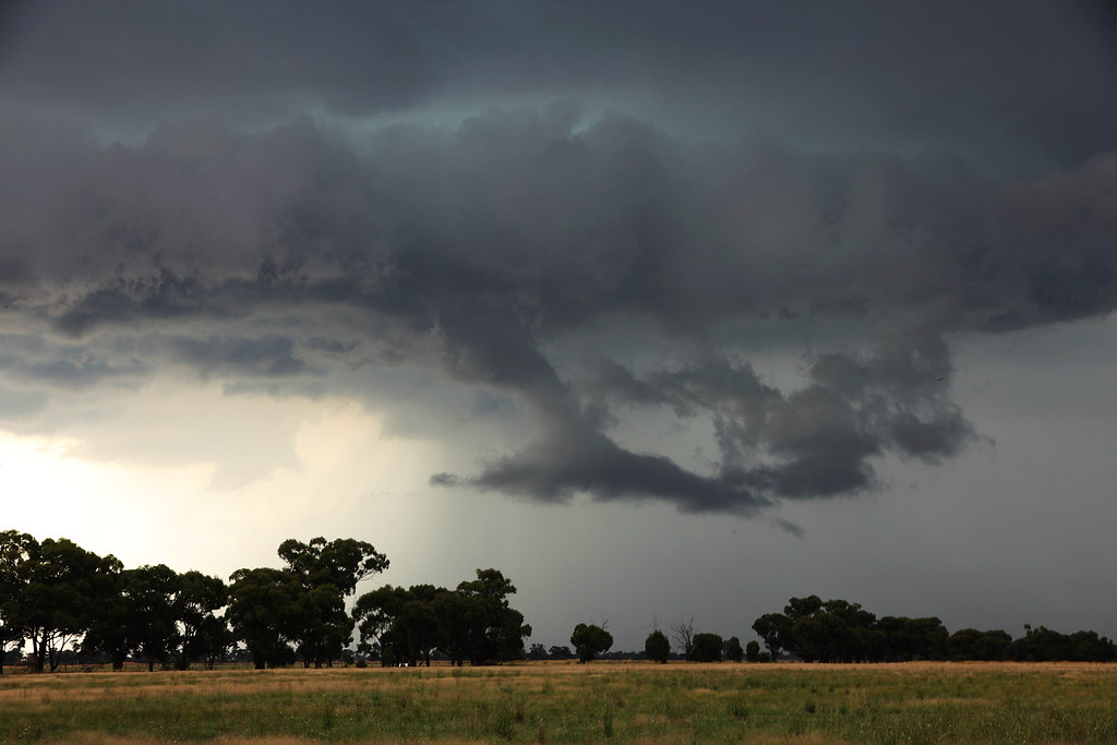
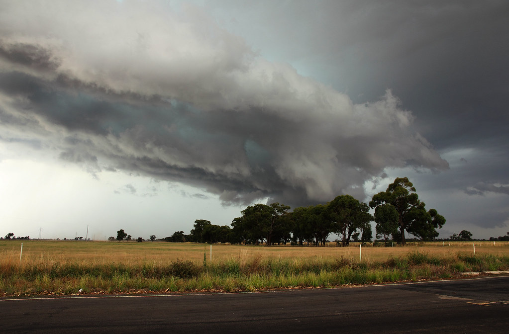
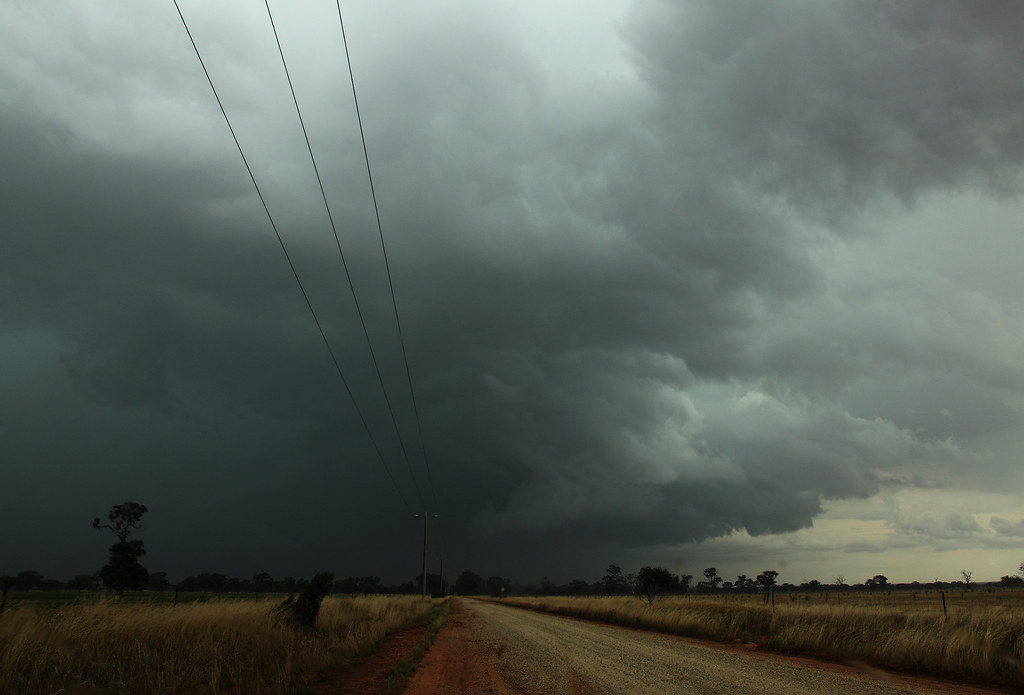
Turning back to the main band, the southern side had really taken off and produced a nice wall cloud.

This is what the radar looked like at this point. I was Standing on the side of the Northern Highway above Bendigo right in the middle of that hole in the radar with cells all around me.

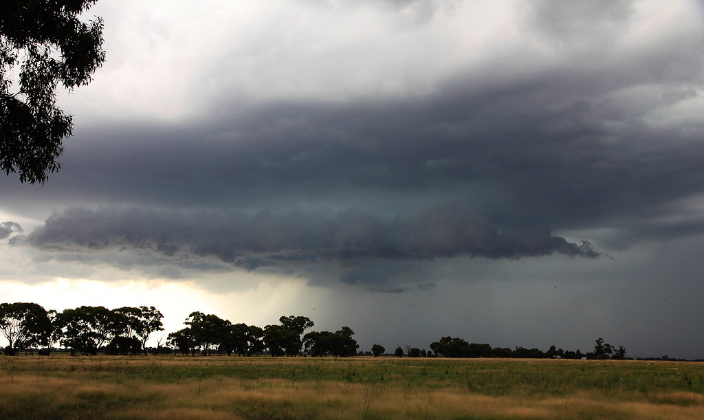
Another Cell formed up in front of my eyes within minutes and released a deluge in the paddocks 1km to my south

I then had to race back home and fought my way through some intense rain with trees falling over the road as well. Quite hairy drive which usually takes 20min taking me 50min.
So an expensive 30min chase, but aight.

I live in a world where I dont see to believe, but I believe to see...